




For millennia, human maritime navigation has relied upon fixed points of reference to guide vessels safely past treacherous shoals, jagged coastlines, and uncharted waters. Long before the advent of satellite-based navigation systems, radar, and advanced sonar, coastal sentinels stood as the primary line of defense for sailors traversing vast and unpredictable oceans. While the earliest iterations of these navigational aids consisted of simple bonfires lit atop coastal bluffs, the fundamental objective has remained unchanged across centuries: to warn mariners of impending peril and to illuminate the path toward safe harbors.
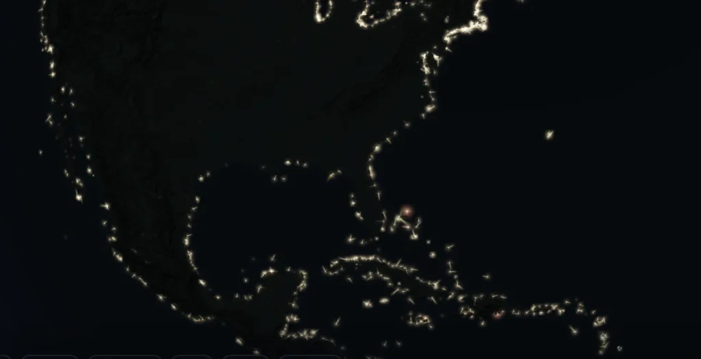
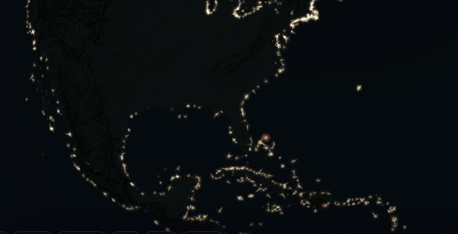
Despite the integration of modern GPS technologies in contemporary commercial and recreational shipping, physical navigational aids retain a vital, fail-safe role in maritime operations. To illustrate the staggering scale of humanity’s ongoing reliance on these coastal beacons, digital analyst and geospatial designer Aaron Becker has developed a mesmerizing, data-driven visualization tool. Hosted on his geospatial platform Mapped.earth, the "Lighthouses of the World" project offers an interactive global census of nearly 76,000 active beacons, casting light on the intricate web of safety infrastructure that blankets the Earth’s shorelines, remote islands, and offshore installations.
The Genesis of a Global Geospatial Project
The development of the Mapped.earth lighthouse tracker stems from a growing body of open-source geographic information curated by international governmental bodies. Becker synthesized vast datasets compiled by prominent maritime and defense agencies, including the National Oceanic and Atmospheric Administration (NOAA) and the National Geospatial-Intelligence Agency (NGA). By aggregating these disparate registries into a unified, accessible digital interface, Becker has provided both maritime professionals and geography enthusiasts with an unprecedented tool for studying global navigational infrastructure.
The platform transcends traditional static mapping by categorizing the world’s lighthouses into 29 distinct coastal regions. Users can seamlessly transition from a macro-level global perspective down to hyper-localized geographic zones. Each mapped structure is accompanied by a robust suite of technical specifications. The interface details critical navigational metrics, such as focal plane height, structural height, light color, nominal range (visibility distance), and the precise rotational velocity or flash interval of the internal optical apparatus.
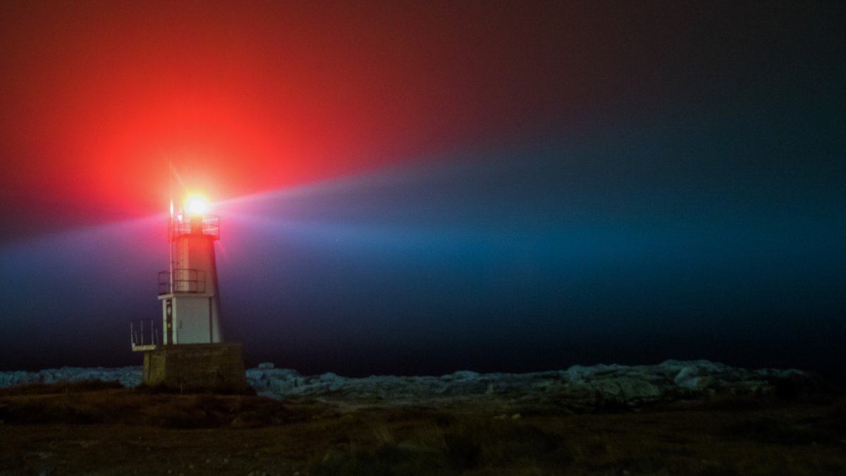
For maritime operators, these details are not mere trivia; they are critical operational parameters. For instance, the Muskegon South Breakwater Lighthouse in Michigan—a 70-foot-tall structure situated on Lake Michigan—emits a distinct red beam with a nominal range of approximately eight nautical miles (roughly 8.2 standard miles). Unlike traditional lighthouses that employ rotating Fresnel lenses to sweep a continuous beam across the horizon, the Muskegon beacon utilizes a fixed-position flashing mechanism that pulses at precise six-second intervals. Becker’s map mirrors these exact mechanical characteristics, animating each digital beacon to replicate the flash frequency or rotational speed of its physical counterpart.
A Brief Chronology of Maritime Navigational Aids
To fully appreciate the scope of Becker’s digital archive, one must examine the historical evolution of coastal illumination. The lineage of the modern lighthouse spans thousands of years, characterized by continuous technological refinement in optics, structural engineering, and fuel sources.
- c. 280 BCE: Construction of the Pharos of Alexandria, widely recognized as one of the Seven Wonders of the Ancient World. Standing approximately 330 to 400 feet tall, the Pharos utilized a wood fire by night and a large mirrored reflection system by day to guide ships into the busy Egyptian port.
- 17th to 18th Century: The transition from open-air wood and coal fires to enclosed candle-powered and oil-lamp systems. During this era, pioneers like John Smeaton engineered revolutionary interlocking stone towers, most notably the Eddystone Lighthouse off the coast of Cornwall, England, which withstood violent open-ocean gales.
- 1822: French physicist Augustin-Jean Fresnel revolutionizes maritime optics by inventing the Fresnel lens. By utilizing concentric glass rings to bend and focus light, the Fresnel lens drastically increased the intensity and range of lighthouse beacons, allowing a single oil lamp to project light for dozens of miles.
- Late 19th to 20th Century: The widespread adoption of petroleum-based illuminants, followed rapidly by electrification and automated acetylene gas systems. These advancements reduced the necessity for resident keepers, paving the way for remote monitoring and automated operations.
- Late 20th Century to Present: The integration of satellite navigation, radar transponders, and automated identification systems (AIS). While electronic navigation has become dominant, physical lighthouses persist as legally mandated visual references and essential redundancies against electronic failure, cyber vulnerabilities, and power outages.
Technical Analysis: Data-Driven Preservation and Maintenance
The integration of open-source geospatial data into consumer-facing platforms like Mapped.earth highlights a broader trend in digital cartography: the democratization of institutional data. Historically, detailed hydrographic surveys, light lists, and navigational warnings were restricted primarily to commercial mariners, naval forces, and specialized government archives. By translating raw NOAA and NGA datasets into a fluid, visual format, projects like Becker’s foster a deeper public appreciation for critical infrastructure that often goes unnoticed by inland populations.
Maritime experts note that maintaining physical navigational aids requires continuous capital investment from government agencies such as the United States Coast Guard and international counterparts. Environmental degradation, saltwater corrosion, and severe weather events persistently threaten coastal masonry and steel superstructures. Public engagement generated by interactive visualization tools plays a crucial role in cultivating grassroots support for the ongoing preservation and restoration of historic lighthouses, many of which are designated as cultural heritage sites.
Furthermore, the data compiled within the Mapped.earth project underscores the logistical complexity of maintaining a global network of disparate systems. A single coastal sector may feature an eclectic mix of Victorian-era stone towers powered by modern solar arrays alongside contemporary fiberglass skeletal towers managed via telemetry. By mapping these variations down to the specific flash cadence and beam color, the project provides a comprehensive snapshot of how 19th-century engineering principles continue to interface with 21st-century digital data architecture.
Broader Implications and Future Outlook
As maritime trade volumes continue to expand globally—with the vast majority of international cargo moving via maritime shipping lanes—the redundancy of navigation systems remains paramount. While GPS and electronic chart display and information systems (ECDIS) offer pinpoint accuracy, they remain vulnerable to systemic disruptions, including solar storms, satellite signal jamming, and hardware malfunctions. In such scenarios, the traditional lighthouse stands as an immutable, analog safeguard.
Projects that spotlight these structures serve an educational and cultural purpose beyond mere utility. They bridge the gap between historical heritage and modern technology, reminding observers of the ingenuity required to tame perilous coastlines. As digital cartographers continue to parse open-source institutional data, platforms like Mapped.earth demonstrate that complex governmental datasets can be transformed into compelling, accessible mediums that resonate with a global audience. For anyone inclined to explore the geography of the world’s coastlines, the project offers a hypnotic window into a global safety network that has kept mariners out of harm’s way for generations.